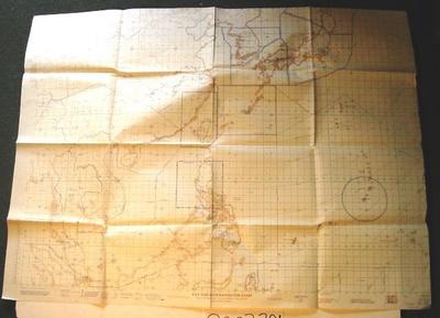
Map - South East Asia
Object detail
Accession number
2003.381
Description
Map - paper - NEO/94. The Far East RAF Mercator Navigation Chart. Published by D Survey. War Office and Air Ministry 1959.
Signature/Marks and Type
NE 0/94 / THE FAR EAST / Series GSGS 4907 / Sheet NE 0/94 / Edition I-GSGS / R.A.F. MERCATOR NAVIGATION CHART / MERCATOR PROJECTION, SCALE 1:6,000,000 AT THE EQUATOR / SCALE AT 21° N-1:5,306,902 / Printed by No. 2 SPC (Air) / 7,500/12/59/542 / Published by D. Survey, War Office and Air Ministry 1959 / AIRFIELD INFORMATION AS AT NOVEMBER 1959 SUPPLIED BY / THE MINISTRY OF DEFENCE J.I.B.5. RADIO FACILITY AND A.T.C. / INFORMATION SUPPLIED BY AIR MINISTRY NOVEMBER 1959 / THIS IS SUBJECT TO CHANGE AND SHOULD BE VERIFIED.
Media/Materials
Credit line
Map - South East Asia, 2003.381. The Museum of Transport and Technology (MOTAT).


Public comments
Be the first to comment on this object record.