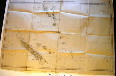
Map - New Hebrides Islands and New Caledonia
Object detail
Accession number
2003.413
Description
Map - paper - Pacific Ocean, New Hebrides Islands and New Caledonia. Compiled from Latest Surveys 3033. Corrections to 1939. Light Quality Paper Edition 3033 New Hebrides and New Caledonia.
Marks
PACIFIC OCEAN / NEW HEBRIDES ISLANDS AND NEW CALEDONIA / COMPILED FROM THE LATEST SURVEYS. / London_Published at the Admiralty, 26th. May 1899, under the Superintendence of Rear Admiral Sir W.J.L. Wharton, K.C.B: F.R.S: Hydrographer. / Reproduced by Hydrographic Branch, Sydney / by permission of the Hydrographer. / Engraved by Edwd. Weller / 3033 Printed
Media/Materials
Credit Line
Map - New Hebrides Islands and New Caledonia, 2003.413. The Museum of Transport and Technology (MOTAT).


Public comments
Be the first to comment on this object record.